Salar de Uyuni (Salar de Tunupa)
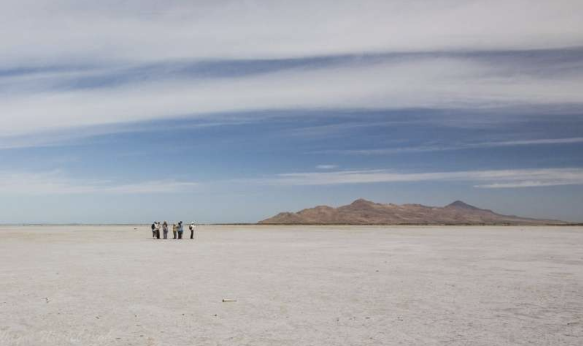
Is the world's largest salt flat, at 10,582 square kilometers (4,086 sq mi). It is in the Daniel Campos Province in Potosí in southwest Bolivia, near the crest of the Andes and is at an elevation of 3,656 meters (11,995 ft) above sea level.
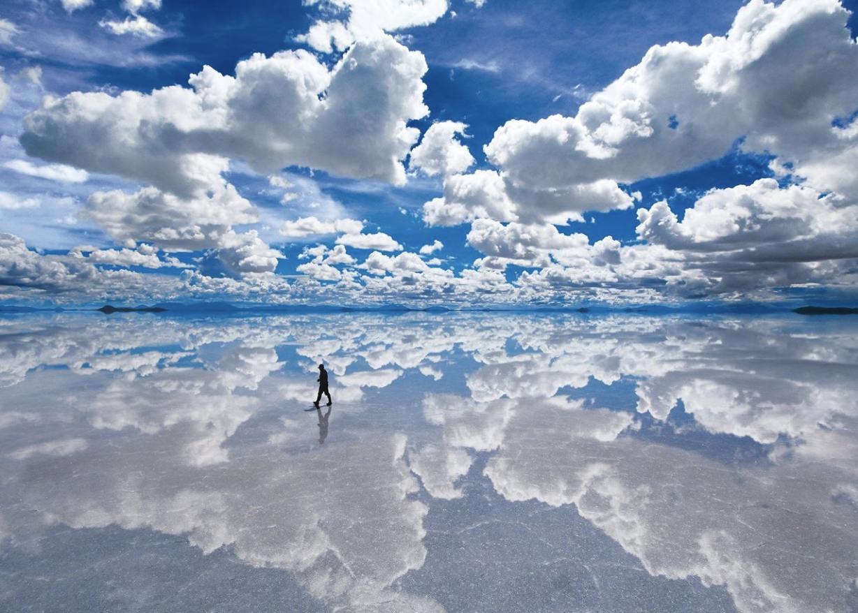
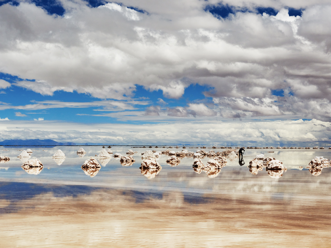
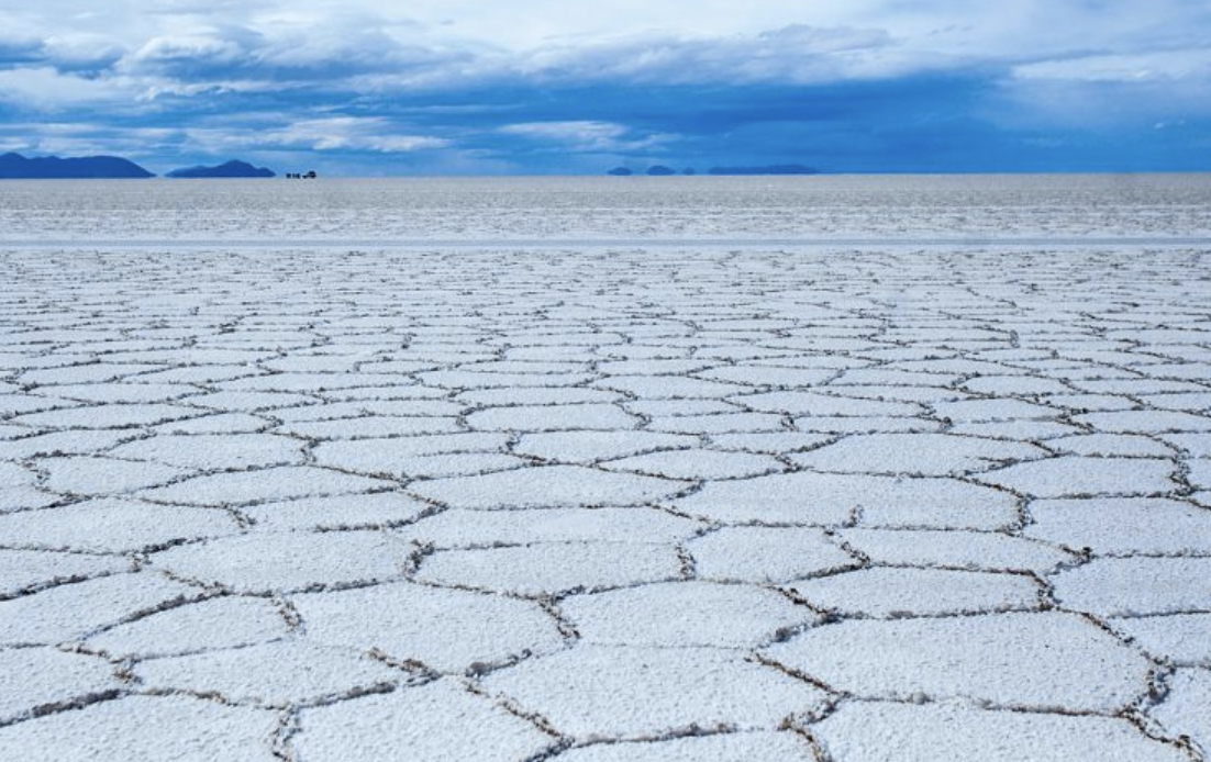
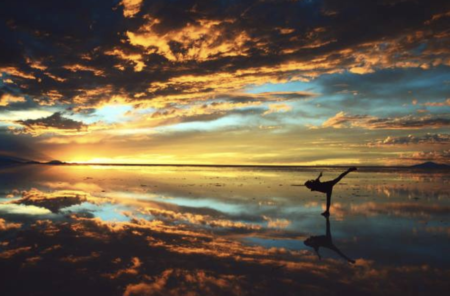
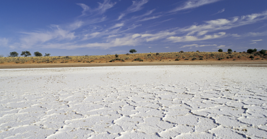
The Salar was formed as a result of transformations between several prehistoric lakes. It is covered by a few meters of salt crust, which has an extraordinary flatness with the average elevation variations within one meter over the entire area of the Salar. The crust serves as a source of salt and covers a pool of brine, which is exceptionally rich in lithium. It contains 50% to 70% of the world's known lithium reserves. The large area, clear skies, and exceptional flatness of the surface make the Salar an ideal object for calibrating the altimeters of Earth observation satellites. Following rain, a thin layer of dead calm water transforms the flat into the world's largest mirror, 129 kilometres (80 miles) across.
The Salar serves as the major transport route across the Bolivian Altiplano and is a major breeding ground for several species of flamingos. Salar de Uyuni is also a climatological transitional zone since the towering tropical cumulus congestus and cumulonimbus incus clouds that form in the eastern part of the salt flat during the summer cannot permeate beyond its drier western edges, near the Chilean border and the Atacama Desert.
Properties
Salt lakes form when the water flowing into the lake, containing salt or minerals, cannot leave because the lake is endorheic (terminal). The water then evaporates, leaving behind any dissolved salts and thus increasing its salinity, making a salt lake an excellent place for salt production. High salinity will also lead to a unique halophilic flora and fauna in the lake in question; sometimes, in fact, the result may be an absence or near absence of life near the salt lake.
If the amount of water flowing into a lake is less than the amount evaporated, the lake will eventually disappear and leave a dry lake (also called playa or salt flat).
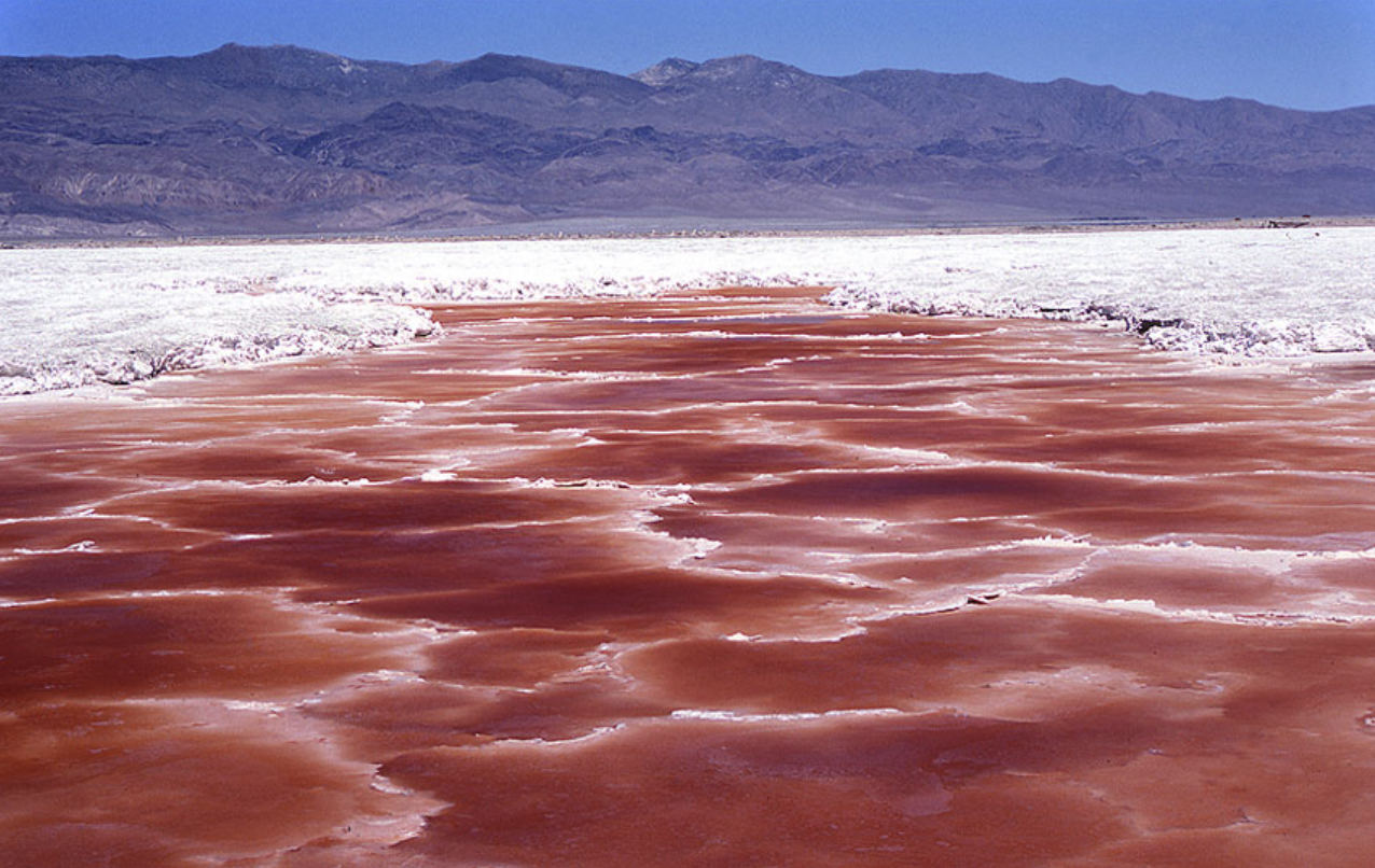
Brine lakes consist of water that has reached salt saturation or near saturation (brine), and may also be heavily saturated with other materials.
Most brine lakes develop as a result of high evaporation rates in an arid climate with a lack of an outlet to the ocean. The high salt content in these bodies of water may come from minerals deposited from the surrounding land. Another source for the salt may be that the body of water was formerly connected to the ocean. While the water evaporates from the lake, the salt remains. Eventually, the body of water will become brine.
Because of the density of brine, swimmers are more buoyant in brine than in fresh or ordinary salt water. Examples of such brine lakes are the Dead Sea and the Great Salt Lake.
Bodies of brine may also form on the ocean floor at cold seeps. These are sometimes called brine lakes, but are more frequently referred to as brine pools. It is possible to observe waves on the surface of these bodies.
Man-made bodies of brine are created for edible salt production. These can be referred to as brine ponds.
Colet Assmann, Steffie Peters, Malou Weijs
RESEARCH
Back to start